The Okavango Delta shouldn’t really exist.
Let me explain.
Consider that most deltas are sprawling wetlands that form at the mouth of rivers as they empty into the sea; such as India’s Ganges pouring into the Bay of Bengal, or the Niger Delta spreading like a fan into the Gulf of Guinea.
Now have a look at a satellite image of the Okavango Delta: an 18 000 square kilometer wetland wilderness teeming with wildlife miraculously appearing in a vast dry sand basin in landlocked northern Botswana.
You have to stop and wonder: this is odd? How did this happen?
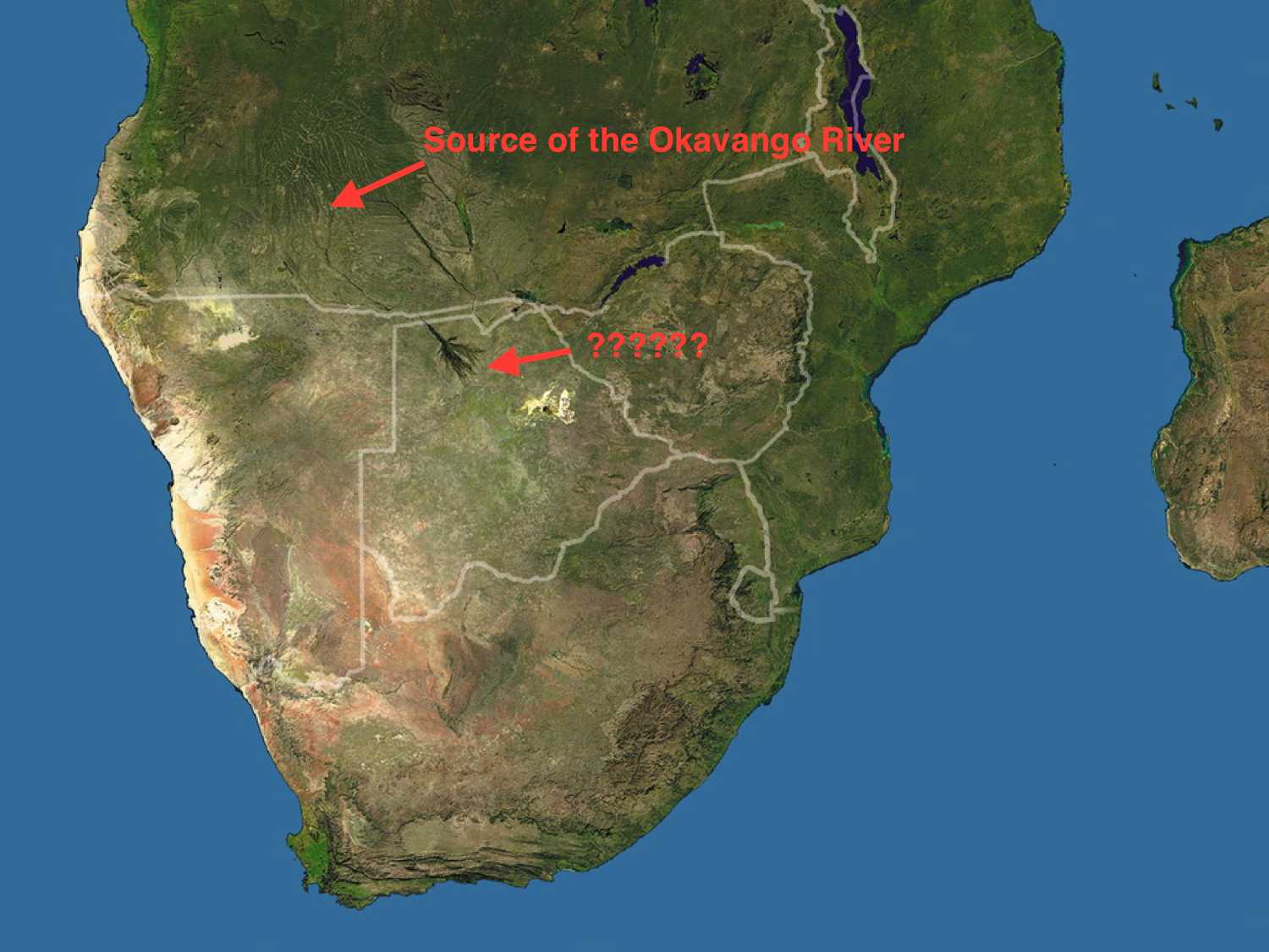
Satellite image of the Okavango by (LandSat 1979)The short answer: The Okavango Delta is a fluke of nature.
The entire wetland was born as a tiny trickle in the remote highlands of Angola.
The trickle is nothing special. If you came across it while wading through the thick miombo bush, you might comment about how nice it is to see a stream, and move onto something more interesting.
But this dribble is the humble beginning of an epic 1000-kilometre river journey through three African countries. From its source in the Angolan highlands, the trickle joins forces with other small tributaries, creating a bigger river called the Cuito. The Cuito continues south towards Namibia, gaining speed and size as the Cubango River joins in too.
Eventually, it all culminates in the mighty Okavango River.
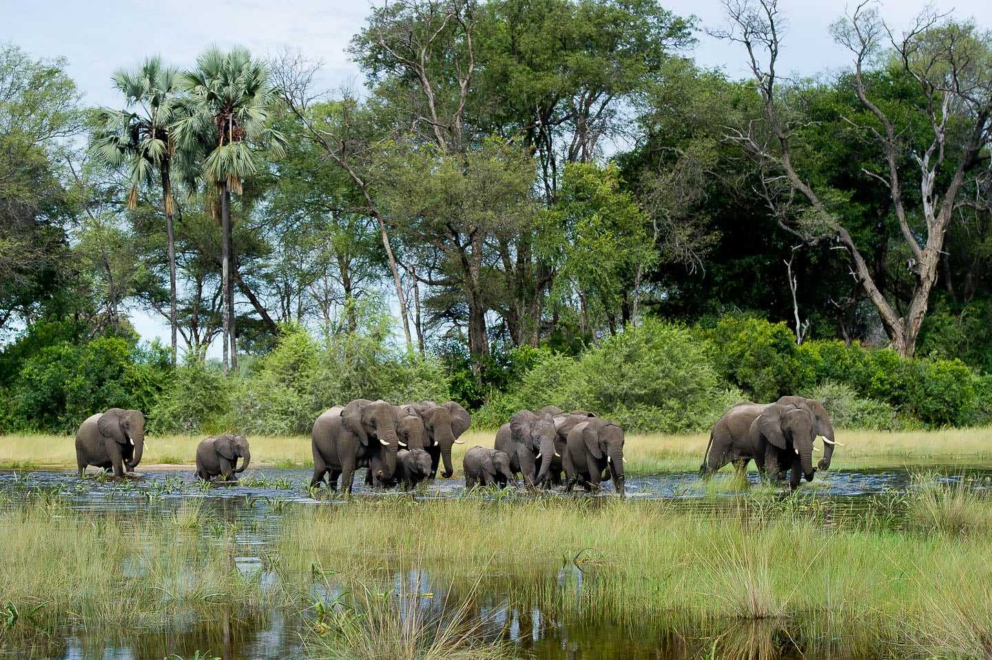
Elephants in the Okavango
The Okavango Delta is relatively new in geological terms—only a meagre 60 000 years old.
Before the formation of the delta, for some two million years, the Okavango River flowed right through Botswana and drained into a massive lake somewhere in the region of the Makgadikgadi pans in Botswana.
Rivers are hard-coded to flow towards big bodies of water like lakes and seas. But then about 50 000 years ago, there was a massive earthquake in Southern Africa. The land near today’s border between Botswana and Namibia shifted up slightly, interrupting the Okavango’s usual, obedient flow.
It was a shock to the river’s system. The water had no choice. 11 trillion litres spilled out into the desert like oil in a pan, flooding a vast area with a steady torrent of fresh H2O.
One awkward geological twist of fate had created the greatest natural oasis on earth—the Okavango Delta.

Red Letchwe have splayed hooves specifically designed for running through water.
Papyrus and other swamp grasses grew tall; the fish species propagated; and the bird life arrived in a wonderful bonanza of colour and flight.
Hippos found their heaven (There’s no happier hippo than one in the Okvango), creating mazes and paths through the wet brush for all the other animals to follow. The tips of termite mounds developed into large islands of life. Enormous fig and jackalberry trees grew tall on the banks of the islands, while monkeys and baboons and leopards made the branches their home.
Elephants flourished, and lions adapted to hunting in the swamps and bogs, conquering their fear of the water and tackling huge prey species like buffalo and giraffe.
Today, the Okavango remains as wild as it was when it formed. The inundated area of the Okavango Delta fluctuates between 6,000 to 8,000 square kilometres every year, swelling to up to 15,000 during the flood. The swamps and floodplains have kept human development at bay, and the wildlife remains a wild as it was 10 000 years ago.
More than 150,000 islands now dot the Delta, varying in size from several metres to larger than a big city.
Chiefs Island in the centre of the delta is the largest island; it’s like a great big time capsule, a snapshot of the Africa of old, with great herds of elephant lumbering across the plains and super prides of lions stalking the night.
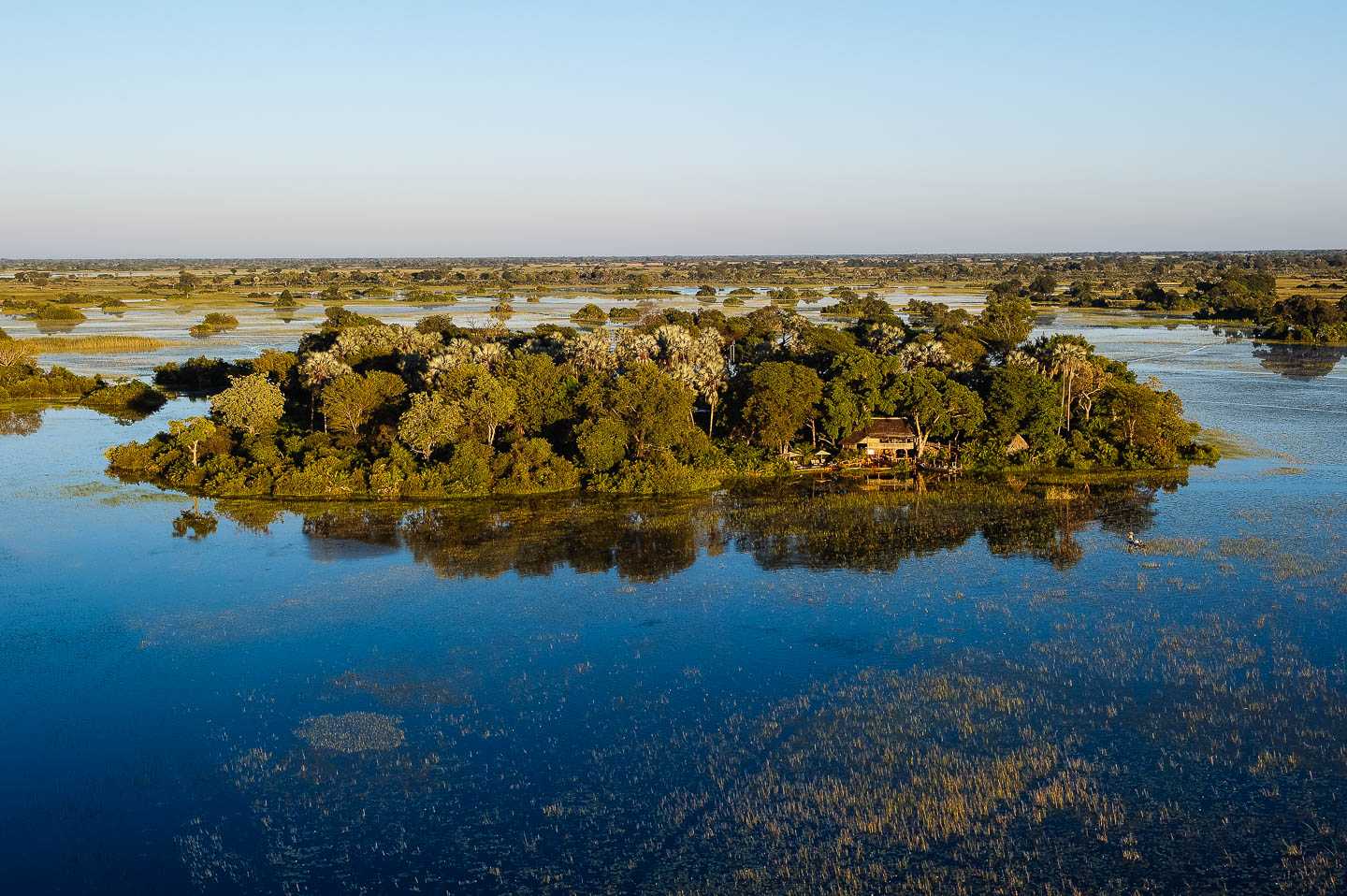
One of the many Okavango island lodges
Flying into the delta is the only real way to appreciate this natural anomaly.
As you lift off from the dusty town of Maun, the landscape below transforms from barron grey desert into a sea of gin clear water weaving between a patchwork of green islands as far as the horizon.
At first, you cannot comprehend it. It shouldn’t be so perfect.
And then, as the hippos puff their heads out of the pools and peer up; and the herds of red lechwe splash through diamond floodplains, you realise that this fluke of nature is just as it should be:
Perfect.


